
Scania Hails Positioning Accuracy Breakthrough for Autonomous Vehicles
Scania says new positioning technology leveraging the capabilities of the Galileo global navigation satellite system has achieved accuracy down to centimeter-scale levels for autonomous vehicles, allowing tricky maneuvers like merging.

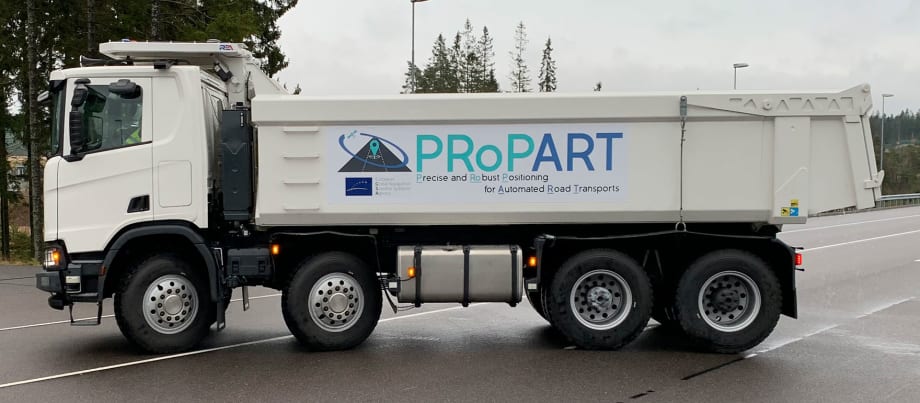
Scania said new technology tested in Europe has lead to a breakthrough in safely merging trucks under autonomous control.
Photo: Scania
Autonomous vehicles and advanced driver assistance systems need robust and precise positioning to enable reliable operations. This is especially important in the early transitional phase of the technology, when other vehicles on the road will not be automated.
Swedish truck maker Scania said that working with technology partners in Europe, it has achieved a breakthrough in enhanced positioning accuracy for autonomous vehicles, using the Galileo global navigation satellite system in combination with other positioning and sensor technologies.
This solution was developed as part of Europe’s Propart project – The Precise and Robust Positioning for Automated Road Transports research effort – which involves Scania and six partners.
The Propart technology project combines Real Time Kinematic positioning software from Waysure (Sweden) with satellite measurements from Fraunhofer IIS (Germany). The satellite positioning was augmented with an ultra-wideband ranging solution from Spanish research institution Ceit-IK4.
The company said it believes this technology could eventually become a key enabler for autonomous trucks in the future.
Centimeter-Level Positioning
The project’s vehicle positioning solution was recently demonstrated in a recreated motorway situation at the AstaZero test area in Sweden, with a connected autonomous truck and two unconnected manned cars.
The self-driving truck was supplied by Scania, with Hungary-based vehicle-to-everything communications company Commsignia providing the short-range communication technology. Baselabs from Germany provided sensor data fusion of onboard and roadside sensors and developed a situational assessment for the automated lane change maneuver. The project has received funding from the European GNSS Agency under the European Union’s Horizon 2020 innovation program.
As part of the test, a Scania self-driving truck executed a safe and efficient lane change in traffic. The maneuver was managed by the new system, relying on centimeter-level positioning combined with collaborative perception sensor data.
Scania said the project demonstrated that it was possible to pinpoint the position with 10-centimeter accuracy. The truck could execute the maneuver due to the precise positioning and an accurate representation of the whole surrounding environment. This was achieved by fusing data from the truck’s camera and front and side radars combined with radars mounted on roadside units.
Infrastructure-to-Vehicle Communications
“In addition to positioning, we’ve also added infrastructure-to-vehicle communications,” said Stefan Nord, project coordinator with Rise, a Swedish Research Institute, which coordinated the demonstration.
Ordinarily, Nord added, autonomous vehicles rely on their own sensors to interpret and process data on the surrounding environment. “If vehicles share information, you can extend their horizon and benefit from data from another vehicle to also look around the corner and thereby gather more data as a basis for manoeuvring decisions,” he said.
“In the project, we focused on achieving a positioning error below 20 centimeters in combination with an ambitious target integrity risk – that is, the probability of the position error exceeding this error limit," explained Fredrik Hoxell, development engineer for Scania Intelligent Transport Systems. “However, for deployment in real-life traffic situations, which tend to be much more dynamic and unstructured, there are of course many more vehicle and system characteristics and possible sources of errors that need to be handled.”
Hoxell noted that Scania is presently investigating several different positioning solutions. “Reliable and high-integrity navigation is absolutely essential when operating autonomous vehicles in uncontrolled environments. These trials offer one possible facet of the overall challenge related to navigation support on the journey towards safe and sustainable autonomous transport,” he said.
The merging demo is featured in this video from Propart partner The Fraunhofer Institute for Integrated Circuits.
More Safety & Compliance
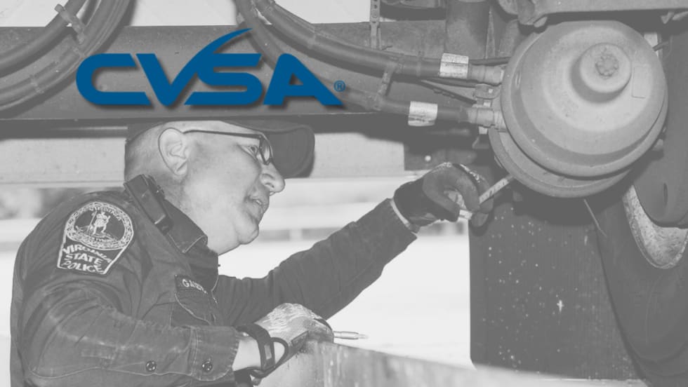
Brake Safety Week to Focus on Drums and Rotors
Commercial vehicle inspectors will be focusing on brakes during CVSA's Brake Safety Week, August 23-29.
Read More →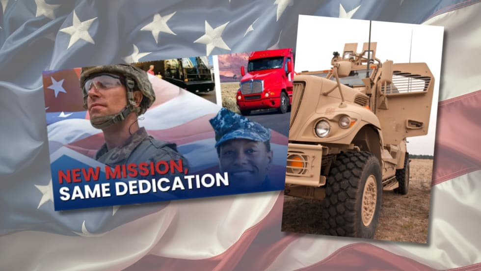
Trump Administration Looks to Put More Veterans Behind the Wheel
The Freedom Haulers program pulls together existing and expanded programs at several federal agencies to recruit veterans to drive commercial heavy-duty trucks and cut the red tape for them to get a CDL, training, and employment.
Read More →
$604 Million Verdict Tests Broker Liability After Supreme Court Ruling
C.H. Robinson plans to appeal after a Texas jury found it bore the largest share of responsibility for a fatal 2021 crash, in a case that follows the Supreme Court's Montgomery decision allowing negligent hiring claims against freight brokers.
Read More →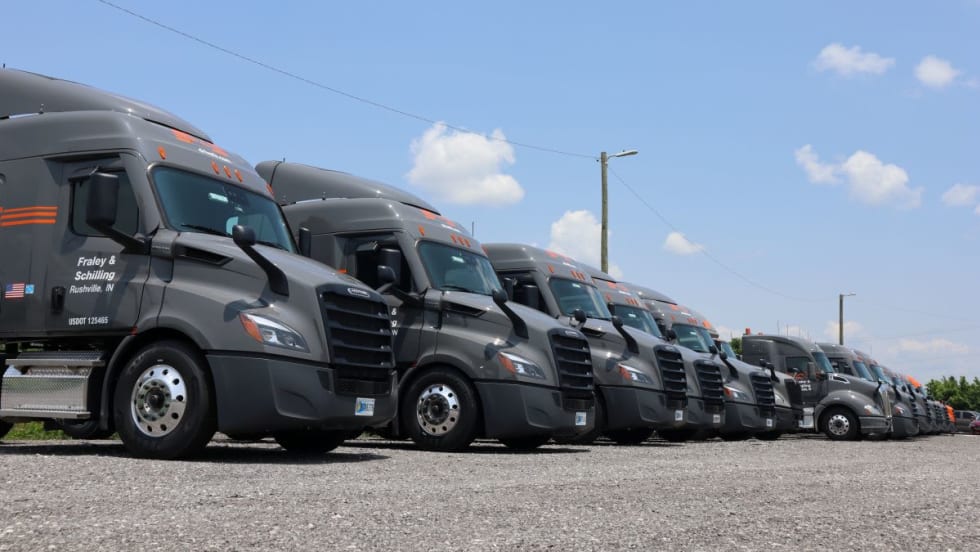
How Fraley & Schilling Improved Logbook Compliance by Over 50%
Fraley & Schilling needed a way to close a compliance workflow gap in its ELD system without adding more work from driver training, reminders, and back-office follow-ups. It found the answer in a custom driver app.
Read More →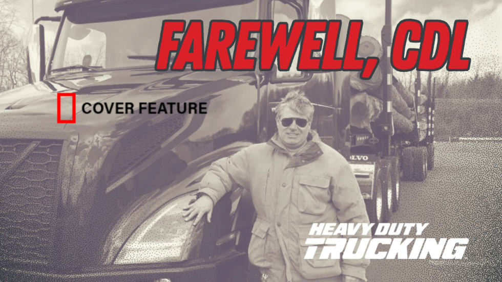
Farewell, CDL: Why I'm Giving Up My Commercial Driver's License
After more than 20 years as a CDL holder, HDT Executive Editor Jack Roberts is letting his commercial license expire. Not because he wants to — but because trucking's nuclear verdict crisis has made the risks of public-road test drives too great for editors, manufacturers, and everyone involved.
Read More →
Enhance Fleet Performance with High-Efficiency Auxiliary Power Units
Drive sustainable cost savings while increasing driver comfort during short- and long-haul logistics operations.
Read More →
Wabash Trailers Recalled for Improperly Installed Underride Guards
More than 900 Wabash dry van trailers may not comply with the Federal Motor Vehicle Safety Standard for rear impact guards.
Read More →
Why K&B Trucking Is Embracing AI and Driver Safety Technology
Crunching data and embracing artificial intelligence are key in K&B Trucking's safety efforts, says the company's safety director.
Read More →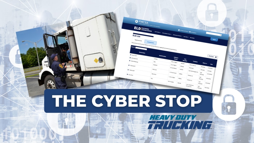
The Hidden Problem Behind FMCSA's ELD Revocations
NMFTA researchers say dozens of registered ELDs may be built on the same software platforms, allowing compliance and security concerns to persist even after individual devices are removed from the market.
Read More →
ATRI Wants Motor Carriers for Driver-Facing Camera Study
In this new study, the American Transportation Research Institute will explore how driver-facing cameras can impact safety and operational metrics in trucking fleets.
Read More →