
Michigan Adds Truck Parking System to I-94
The Michigan Department of Transportation has activated the Truck Parking Information and Management System on a section of Interstate 94 in southwest Michigan.
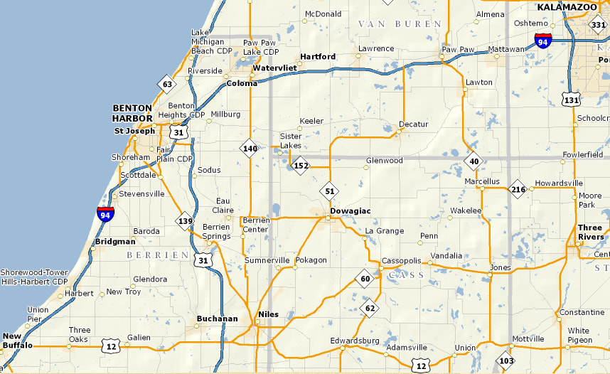
Map of Interstate 94 in southwest Michigan.

The Michigan Department of Transportation has activated the Truck Parking Information and Management System on a section of Interstate 94 in southwest Michigan.
The parking system is designed to deliver real-time parking availability information at rest stops along a route to help truckers decide when and where it’s best to stop. Michigan joins Minnesota in implementing the program.
The corridor of the Interstate 94 that runs through southwest Michigan carries some of the highest commercial volumes in the Midwest. MDOT estimates that trucks make up 23-30% of all traffic in the corridor, which is the highest concentration of commercial vehicles on the interstate highways in Michigan.
MDOT says truck parking is a major safety concern along interstate 94 with many truck drivers opting to park on rest area entrance and exit ramps, in car parking areas and on interstate entrance and exit ramps despite there being under-used or empty truck parking spaces at private facilities.
The parking information will be distributed through roadside signs which display current information as well as websites and smartphone applications which drivers and dispatchers can use to plan with. The smartphone application also has text to speech capabilities to allow drivers to keep their focus on the road.
More Drivers
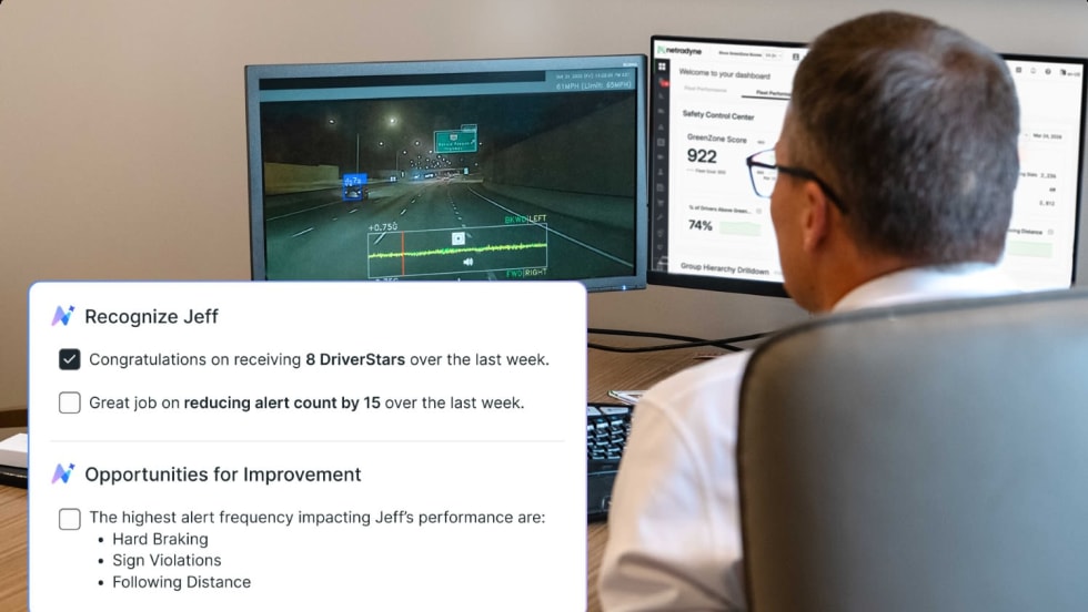
Netradyne Intelligence Uses New AI Agents to Automate Response to In-Cab Camera Data
The company called the next-generation in-cab camera safety platform "a fundamental shift from systems that report on what happened to systems that actively drive what should happen next."
Read More →
Why Truck Detention Keeps Costing Fleets Time and Money
A 2024 ATRI study found detention affects nearly 40% of truckload stops and costs the industry more than $15 billion annually. Despite the toll on drivers, fleets, and supply chains, the problem remains stubbornly persistent.
Read More →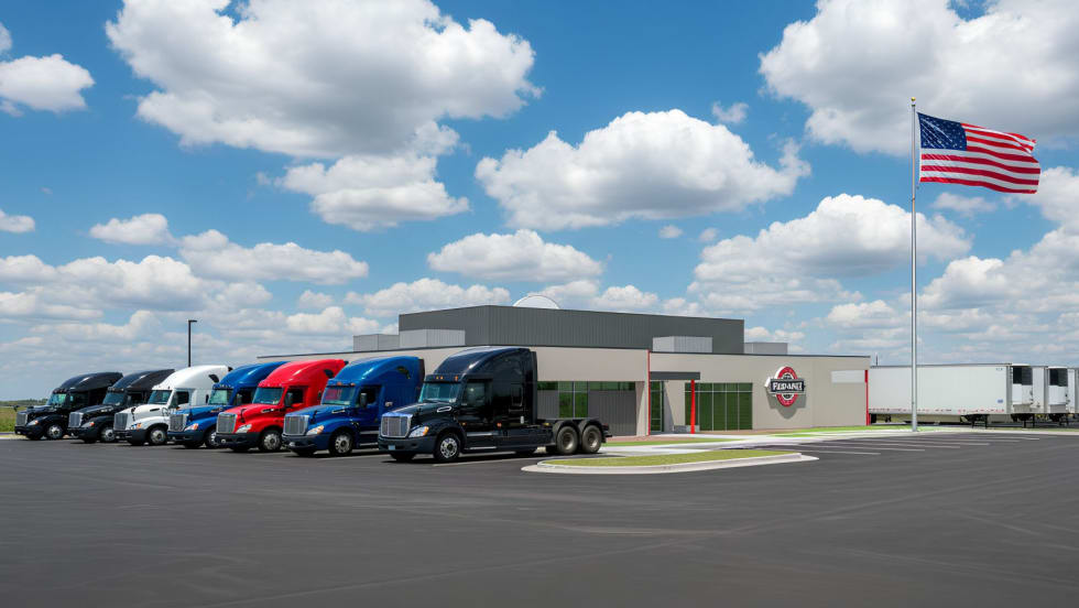
Prime Inc. to Open $7.9M Flagship Used-Truck Dealership
A new driver-focused facility to sell Prime Inc's used trucks and trailers will be the first purpose-built location in the company's history.
Read More →
Short Takes: Inside K&B’s Truck Safety Tech
Listen to learn how K&B Transportation uses cellphone-blocking technology, speed management systems, weather geofencing, bridge avoidance tools, and more to improve driver safety.
Read More →
Nussbaum Expands Driver Compensation with Pay Raises, Profit Sharing
Nussbaum Transportation said its latest compensation package could push first-year driver earnings above $90,000 in key hiring markets.
Read More →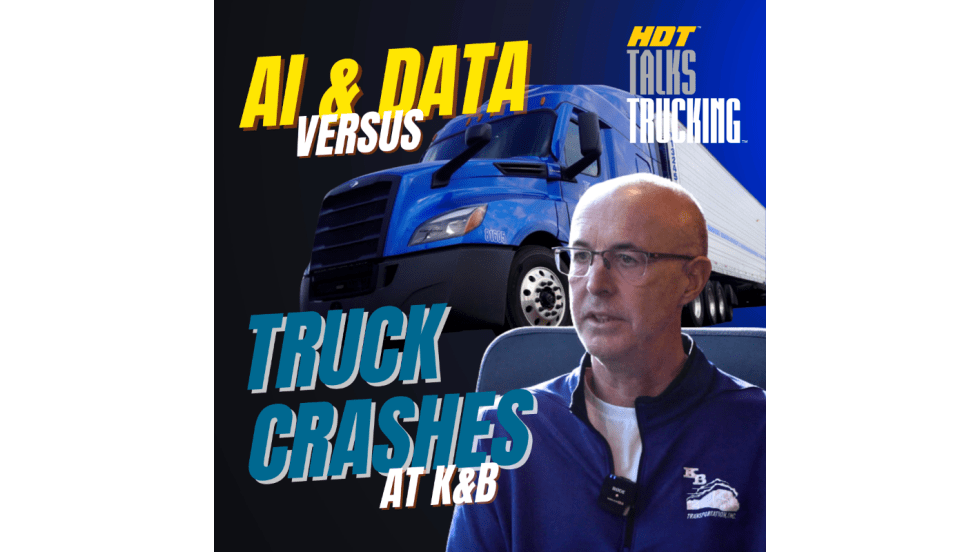
Listen: Inside Modern Fleet Safety: AI, Cameras & Speed Control at K&B Transportation
Fleet safety is evolving fast—and technology is at the center of it. Learn how a former commercial vehicle enforcement officer turned director of safety at K&B Transportation is embracing real-world safety technology.
Read More →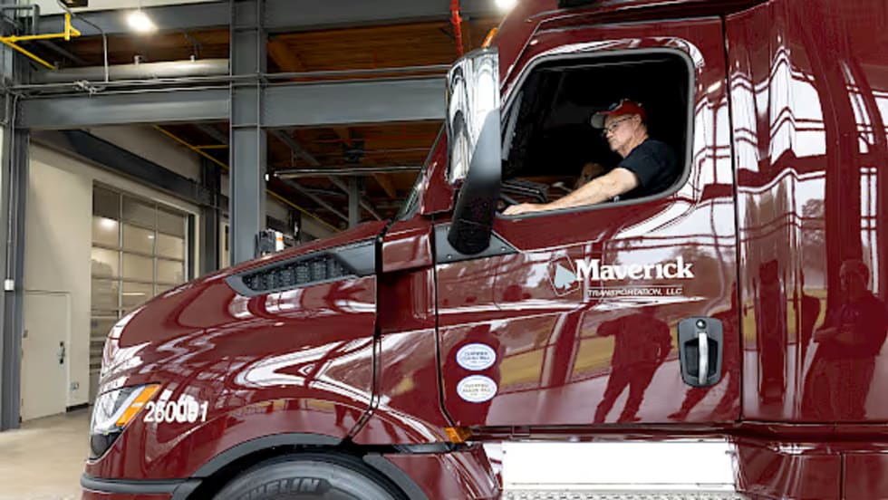
Maverick Announces 2026 Driver Pay Raises
New raises for Maverick Transportation drivers will take effect on May 31, 2026.
Read More →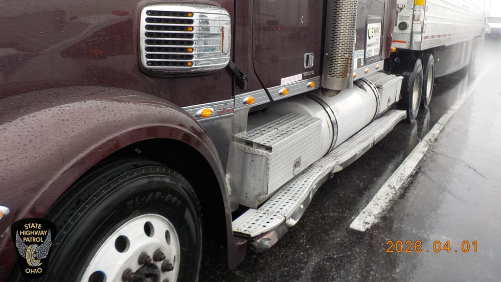
Illinois Trucker Indicted for Nearly $22,000 in Ohio Turnpike Toll Evasion
Authorities say an Illinois trucker avoided paying tolls for two years, and now faces felony charges, possible prison time, and forfeiture of his Freightliner tractor.
Read More →
New Trojan Driver Cargo Theft Scam Bypasses Carrier Vetting Systems
Cargo theft rings plant operatives as drivers inside legitimate, fully vetted carriers, then execute coordinated thefts that look like a traditional straight theft from the outside.
Read More →
WIM, Trucker Path Name Top 3 Women-Friendly Truck Stops
ATA’s Women In Motion Council and Trucker Path highlight three truck stops that meet all seven safety-focused criteria and rank highest among female drivers.
Read More →